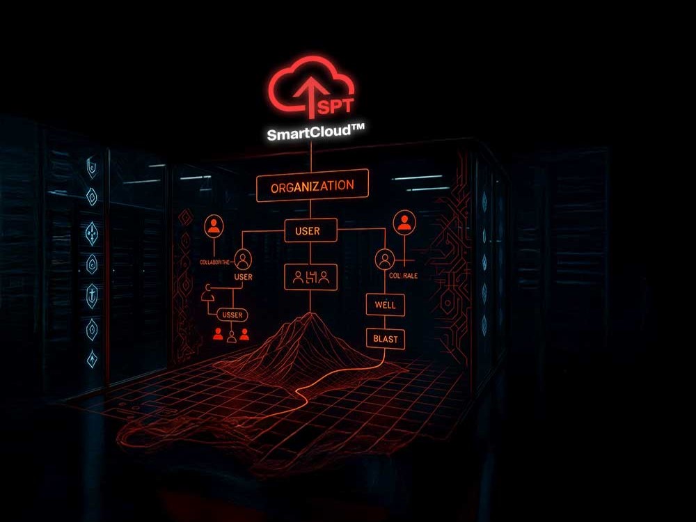
Centralize and secure data from every SPT tool with instant, worldwide sync, configurable QA/QC validation, role-based access, and audit-ready reports aligned with ISO/IEC 27001:2023.
Fragmented Data Breaks Custody and Slows Decisions
In many drilling environments, survey and structural data are exported to local drives, email threads, or USBs. This breaks the chain of custody, invites uncontrolled edits, and destroys traceability.
A single misassigned file can compromise QA/QC validation, while scattered storage creates duplicated effort, delays analysis, and forces teams to work in isolation, eroding confidence in time-critical geotechnical decisions.
SmartCloud™: Centralized, Secure, and Instantly Verifiable
SmartCloud™ centralizes, encrypts, and automatically syncs all data recorded by SPT tools. Every user action is logged for a complete audit trail, while real-time QA/QC validation keeps projects compliant and on spec.
Teams collaborate from anywhere with controlled sharing and granular permissions, exporting only what they need with full confidence and custody from rig alignment and borehole surveys to core orientation and structural logging.
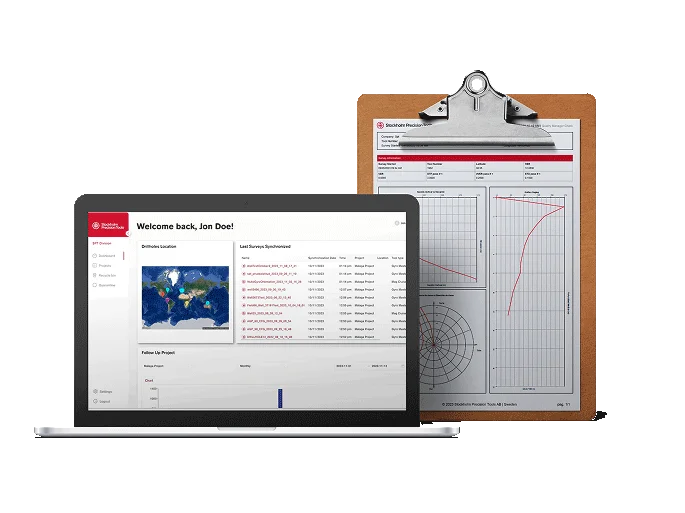
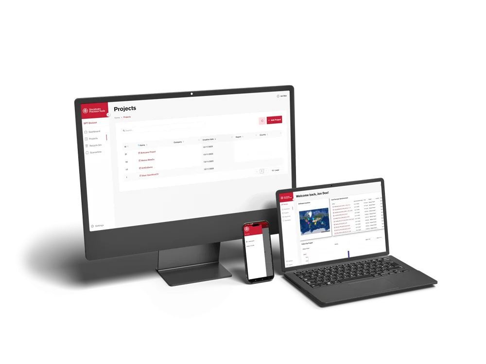
Securely view, manage, and share drilling and structural data from anywhere—no local servers or VPNs needed. Work continuously across sites and teams.
Real-Time Monitoring
Live, synchronized dashboards provide an up-to-the-minute view of alignment, surveys, core orientation, and structural logging—so issues are caught early.
Quarantine-Based Quality Control
Unvalidated or suspect data is automatically isolated before entering the main repository, preserving data integrity and avoiding downstream errors.
Automated QA/QC Rules
Validate against project-specific criteria and cross-check correlations between rig alignment, borehole trajectory, core orientation, and structural logs.
Immediate, Audit-Ready Reports
Generate structured reports instantly—designed for compliance with ISO/IEC 27001:2023—so stakeholders get credible, decision-ready outputs fast.
Complete Custody & Traceability
Every action is logged. Maintain a fully auditable chain of custody from rig to interpretation, with version history for all files and measurements.
Advanced Security & Control
Role-based and borehole-scoped permissions, robust audit trails, and one-click data recovery deliver enterprise-grade control and resilience.