Contact sales in minutes⏱️

Acoustic Televiewer

High-Resolution Imaging for Every Borehole

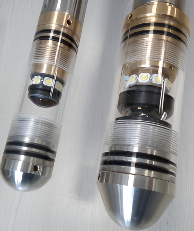
Gain clear subsurface insight with advanced acoustic imaging. Capture precise 360° borehole images to identify fractures and structures with accuracy for confident decisions.

Poor Borehole Imaging Costs Time, Money, and Data Accuracy

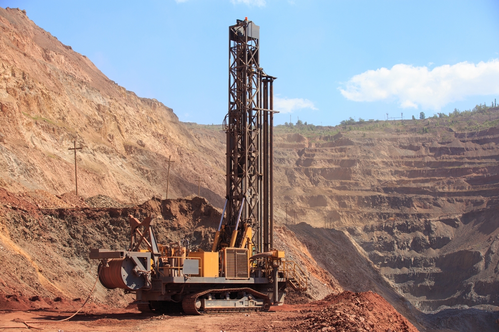
In mining and geotechnical operations, poor borehole imaging is more than a technical limitation. It’s a costly barrier to accurate subsurface interpretation. When borehole walls are not clearly visualized, structural features are missed, geological analysis becomes unreliable, and project timelines extend unnecessarily.


Conventional logging methods often fail to deliver detailed, oriented images in complex formations, resulting in incomplete data and inconsistent results. This leads to misinterpretation, repeated surveys, and increased uncertainty in your geological assessments.

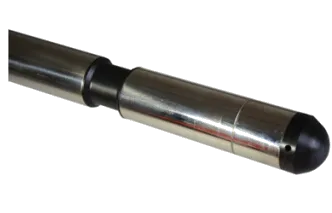
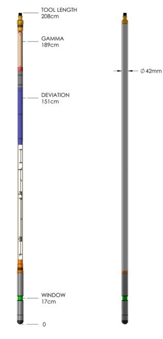
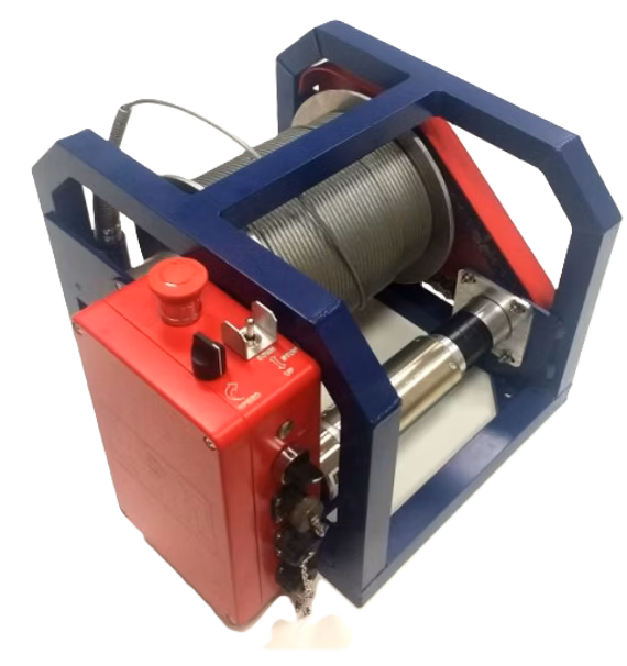
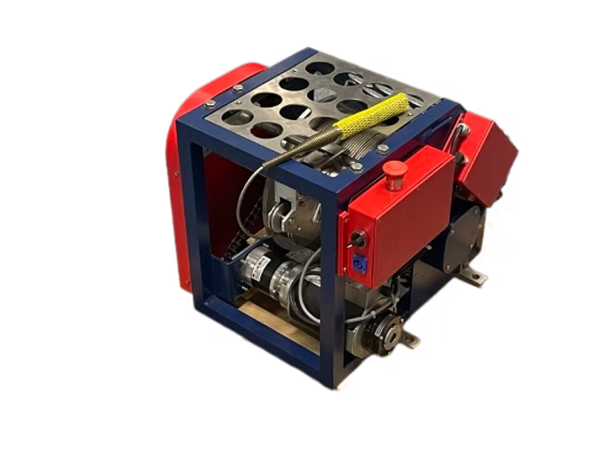
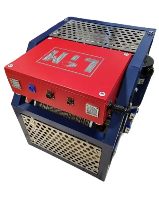
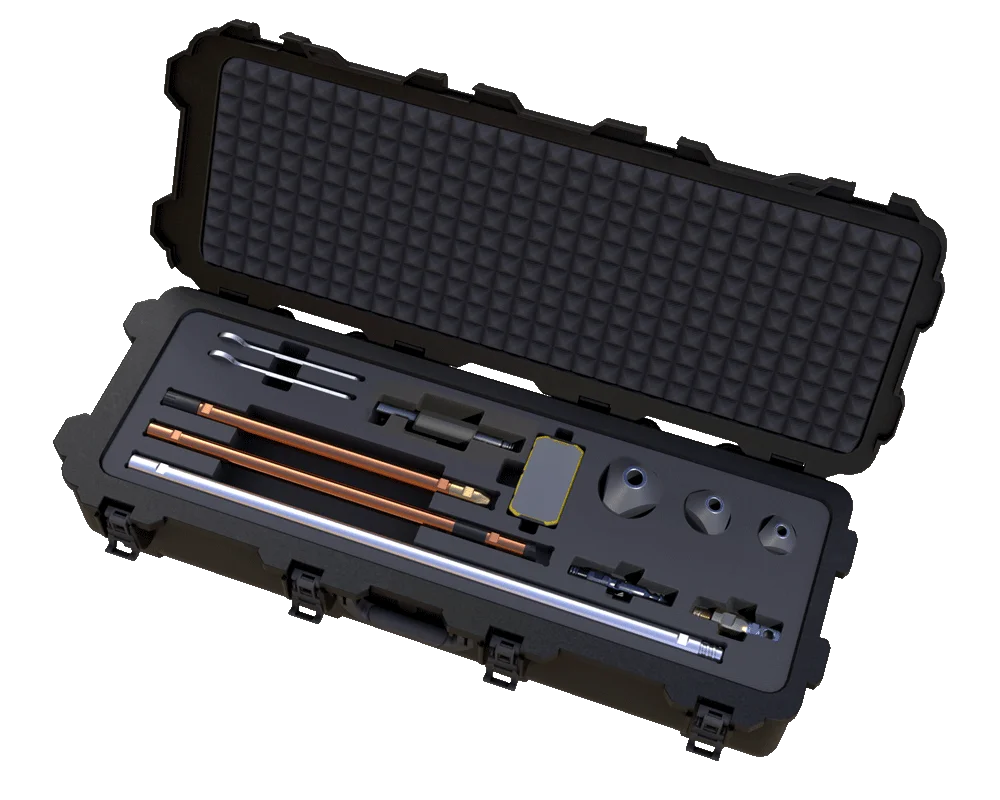
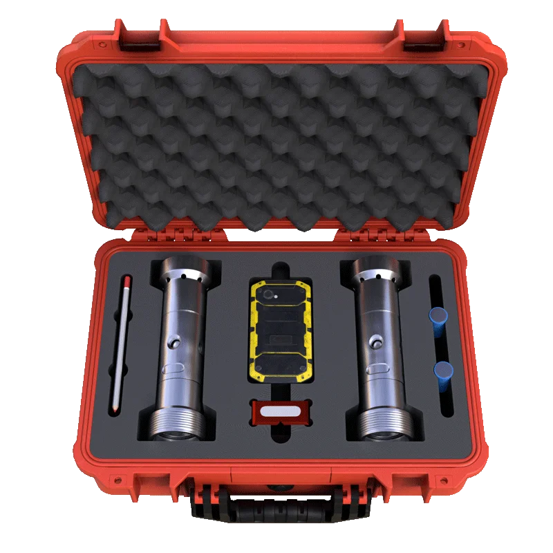
Acoustic Televiewer | High-Resolution Imaging in Every Borehole

The Acoustic Televiewer removes uncertainty by delivering detailed, 360° borehole imaging with high-resolution acoustic data. Using advanced ultrasonic technology, it captures continuous, oriented images in real time — even in complex geological conditions.


Whether you’re analyzing fractures, identifying structures, or mapping lithology, the Acoustic Televiewer™ ensures every dataset is accurate, visual, and fully traceable.


The result? Clear structural insight, faster geological interpretation, and reduced operational risk.

Key Features of the Acoustic Televiewer

360° Acoustic Imaging

Captures full borehole images, delivering high-resolution structural clarity.

Oriented Data Accuracy

Provides precise azimuth and inclination for reliable structural interpretation.

Amplitude & Travel Time Data

Measures signal response to reveal fractures, texture, and borehole geometry.

High-Resolution Output

Produces detailed images with adjustable resolution for accurate analysis.

Robust Downhole Design

Built to perform in high pressure and temperature borehole environments.

Wide Borehole Compatibility

Works across borehole sizes and fluids, supporting flexible use in varied site conditions.

Need the Acoustic Televiewer for your next project?

GyroMaster™ & Core Retriever for Gyro Survey

Using GyroMaster and Core Retriever for Gyro Survey | True North Seeking Gyro with Continuous Mode

Technical Specifications

Specifications

Diameter

42 mm (1.65″)

Length

2100 mm (82.7″)

Weight

8 kg (17.64 lbs)
Max. operating Temp
70°C (standard)
Max. operating Pressure
200 bar (2900 psi)
Recommended max. cable length
2000 m with 3/16″ 4Go cable
1000 m with 1/10″ monocable
Housing type
Titanium & non-magnetic brass
Data / sensor parameters
Max. communication speed
312.5 Kbit/sec.
Transducer
1″ focussed piezo-composite and rotating mirror
Signal frequency
1.5 MHz
Acoustic beam angle
3° (3dB) conical
Amplification
0 to 60 dB in 1 dB steps / AGC
Horizontal resolution
90, 120, 180 or 360 pixels
Vertical resolution
Defined by logging speed (2.4 m/min if resol. is 2 mm)
Orientation sensor
triple magnetometers / accelerometers
Orientation precision
± 0.5° inclination, ± 1° azimuth
Accessories / options
Natural gamma detector
ø25 x 50 mm NaI(Tl) crystal
Non-magnetic centralisers
Sinker weight
Image reference calibrator
Borehole conditions
Fluid-filled open borehole
Water or light bentonite mud
Recommended diameter range
75 to 300 mm / 3 to 12″
Probe must be centralised

#WHY US?

Ghana's Exclusive Distributor
of SPT Solutions

Certified distributor of SPT (Spain)

5–7 day free on-site operator training

24/7 technical and advisory support

Flexible rental and purchase terms

Field service across Ghana and West Africa

Request A Quote

Get a Rental Quote or Buy a GyroMaster™ for Upcoming Survey Projects

Accessories

WinchLIM 150

WinchLIM 300

WinchLIM 600 & 1200

#MORE PRODUCTS

Survey Solutions At Your Disposal​

Optical Televiewer

High-definition borehole imaging with oriented data for precise structural insights.

MagCruiser™

Proven magnetic survey tool with ±0.05° inclination accuracy.

CoreMaster™

Digital core orientation for precise geological analysis.